Laser Drones Reveal Tree Map of University Campus
Laser Drones Reveal Tree Map of University Campus

Aerial view of the campus highlighting the vibrant tree canopy.
🇺🇸 Mapping Trees with Laser Drones
Wake Forest University now has a 3D digital map of over 1,000 trees on its campus. This was not just some afternoon project. It took one drone, 300 million laser data points, and seven teams of students walking around. Led by Professor Ovidiu Csillik, this effort has given the university more than just a cool map. The map is interactive and publicly accessible. Now, Wake Forest has international accreditation as a Level II arboretum. That’s a big deal in the world of trees. It’s almost like having a living museum of trees right on campus. Which is cool, if you think about it.
🇪🇸 Drones y Láseres para Mapear Árboles
La Universidad Wake Forest tiene ahora un mapa digital en 3D de más de mil árboles en su campus. No fue un proyecto sencillo. Usaron un dron, 300 millones de puntos de datos láser y siete equipos de estudiantes recorriendo el lugar. Con la guía del profesor Ovidiu Csillik, no solo crearon un mapa fascinante. Este mapa es interactivo y accesible al público. Ahora la universidad cuenta con acreditación internacional como un arboreto de Nivel II. Eso es algo significativo en el ámbito botánico. Es como tener un museo viviente de árboles justo en el campus.
Como Afiliado de Amazon, obtengo ingresos por las compras adscritas que cumplen los requisitos aplicables.

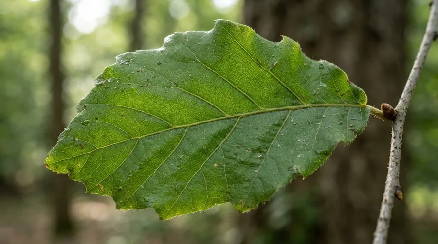
Close-up of a leaf showing intricate vein patterns.
🇺🇸 A Bit of History
Before this project, understanding and cataloging trees on a university campus was usually done manually. People would walk around with clipboards and make notes about each tree. Sometimes they even climbed them to take measurements. A lot of work for not much data. Drones represent a shift due to their ability to collect massive amounts of information quickly and efficiently without people climbing trees. Already known was that drones had been used in forestry and urban planning before. But mapping each tree in detail? That was being pushed forward at Wake Forest.
🇪🇸 Un Poco de Historia
Antes de este proyecto, catalogar los árboles en un campus universitario se hacía manualmente. Se recorría el campus anotando detalles de cada árbol con papel y lápiz, incluso escalando algunos para medirlos. Mucho esfuerzo por pocos datos. Los drones ya habían demostrado su utilidad en la planificación urbana y en bosques, pero mapear cada árbol detalladamente? Eso estaba avanzando gracias a Wake Forest.

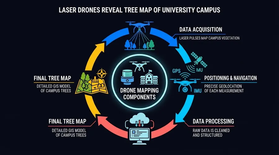
Diagram of drone components used in tree mapping.
🇺🇸 How the Laser Drones Did It
The drone used in this project is equipped with LiDAR technology that sends out laser pulses toward the ground below. These pulses bounce back to the sensor once they hit something solid, like a tree or even the ground itself. The time it takes for each pulse to return gives an accurate measure of distance. All these data points come together to create a detailed digital map of every individual tree on campus. I kept rereading how it manages to identify different species from these data points alone because that part was over my head.
🇪🇸 Cómo Funcionaron los Drones Láser
El dron del proyecto estaba equipado con tecnología LiDAR que emite pulsos láser hacia el suelo. Estos pulsos rebotan al chocar con algo sólido como un árbol o el mismo suelo y vuelven al sensor del dron. El tiempo que tardan en regresar mide con precisión la distancia desde el dron hasta esos objetos sólidos. Así se crea un mapa digital detallado de cada árbol en el campus con todos estos puntos de datos juntos. Me cuesta entender cómo logra identificar diferentes especies solo con estos puntos.


Students actively collecting tree data on the ground.
🇺🇸 Why This Matters
For students and researchers at Wake Forest, this map changes how they interact with their environment daily. They can study tree growth patterns or monitor which areas might be susceptible to pests or disease with unprecedented precision for a university campus setting. Planning future construction projects becomes easier because now they know exactly where each tree is located and what species it is without guessing or checking manually again and again. It's like having an elaborate spreadsheet made live with biological details added in.

🇪🇸 Por Qué Es Importante
Para los estudiantes e investigadores en Wake Forest, este mapa transforma su interacción diaria con el entorno del campus. Pueden estudiar los patrones de crecimiento de los árboles o vigilar áreas vulnerables a plagas o enfermedades con una precisión inédita en un entorno universitario. La planificación de futuros proyectos de construcción se facilita al saber exactamente dónde está cada árbol y su especie sin repetir comprobaciones manuales constantes.
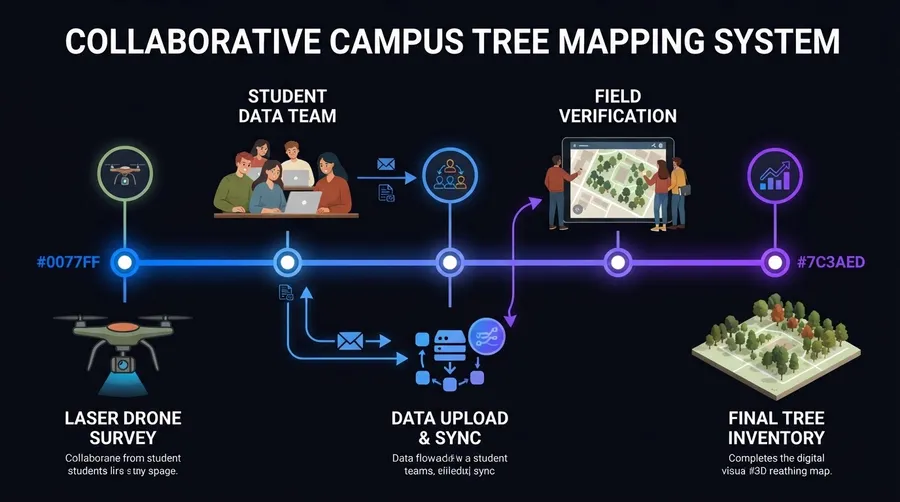
Map showing collaboration between drones and students.
🔗 Related Articles | Artículos Relacionados
Nuestro canal transmite datos curiosos de ciencia, IA, espacio y tecnología las 24 horas. | Our channel streams science facts, AI, space and technology around the clock.
▶ Ver transmisión | Watch liveOPEN YOUR MIND
Source: Source
Join the conversation